Record Alta Interlodge

March 27, 2020
When you live at a ski area you tend to get obsessive about checking weather reports. The reports for February 6th and 7th 2020 were particularly interesting.Wednesday February 5th Evening Forecast: 7-11 inches; increasing winds 35 -50 mph; increasing temperatures into the mid 20s.
Wednesday February 6th Morning Forecast: 7-11 inches; increasing winds 45 – 60 mph; gusts up to 90 -100 mph on ridge-tops; temperatures remaining steady on the mid 20s.
For the uninitiated to weather forecasts in the Cottonwood Canyons of Utah, these forecasts may seem shocking. To those of us who spend our winters here, these forecasts caught our attention but certainly were not unheard of. In fact, we had been following this storm and were disappointed in the predicted accumulation – the ranges of predicted snow had dropped from 20 – 35 inches to 14 – 22 inches. However, the storm ended up over-performing (yes, in Utah they talk in terms of the “performance” of a storm) and would have a tremendous impact on Little Cottonwood Canyon and its residents.
The final tally for the storm actually ended up in the first predicted range – 33 inches, but the snow was extremely heavy for Utah – average density of 17% (our norm is under 10%). Unusually high density snow can create serious avalanche problems. While we like to think of avalanches as abnormal, they aren’t in Little Cottonwood Canyon. It is relatively routine to be woken up to the sound of avalanche guns blasting at 6:30 AM as the Alta and Snowbird ski patrol and Utah Dept. of Transportation shoot avalanche paths above the road and the steeper slopes within the ski areas. The theory is better to bring the avalanches down by blasting them rather than have skiers trigger them.
As is often the case when it comes to avalanches, the snowpack underneath the most recent snow tells the story. Several days preceding this storm a cold winter storm had dropped 10 inches of “The Best Snow on Earth” (i.e. Utah Powder). Good news – it was light, fluffy and very skiable. Bad news – it was no match for the heavy snow from this storm and basically the snowpack completely collapsed!
All hell breaks loose and road clean up! Video courtesy of Utah Dept of Transportation
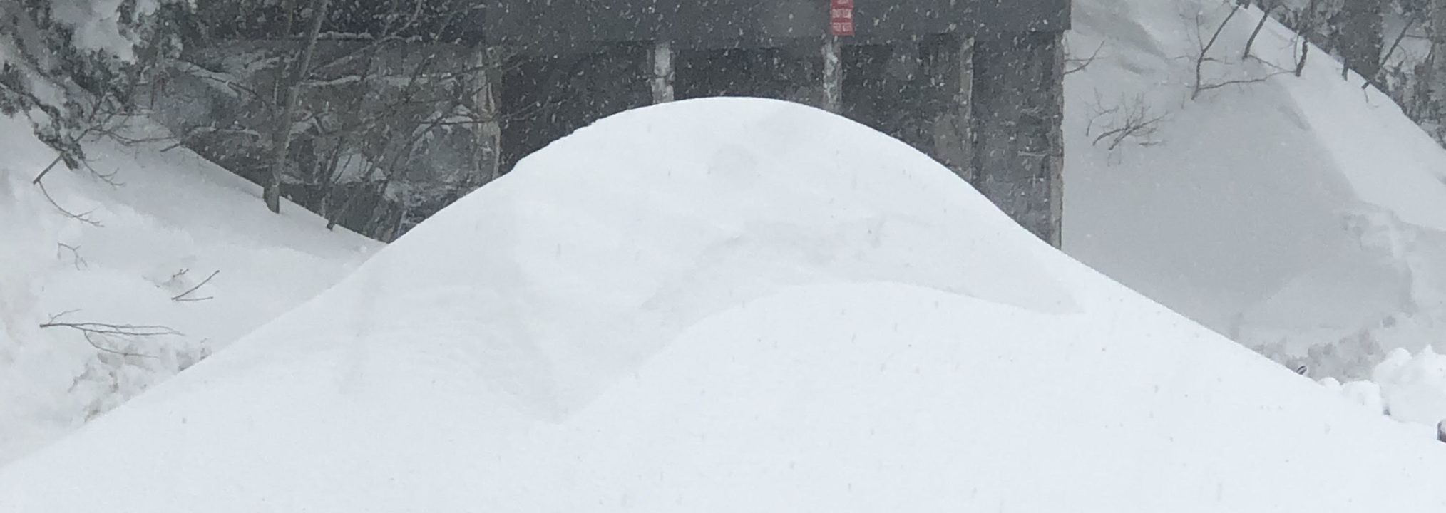
The avalanches this storm spawned shocked even the hardened locals. Commencing Wednesday morning many avalanches would bury the road up Little Cottonwood Canyon, closing it for 52 straight hours. And numerous other avalanches would roar down the surrounding mountains both in the backcountry and within Alta and Snowbird. One avalanche would cross the road and slam into the parking lot of the Alta Peruvian Lodge burying parked cars and another would crash through a cabin in the Hellgate section of Alta.
Residents of Alta were interlodged (not allowed outside at all) for 52 straight hours (all-time record!). Yep, folks, you read that right – we were not allowed to step outside for 52 hours. Alta and Snowbird remained closed for all of Thursday and Friday. Relief finally came Saturday morning. Interlodge was lifted, allowing us not only to go outside but actually ski Alta while the road was still closed until midday.
Being able to ski while the road is still closed rarely happens, but it was our reward for the 52 hour wait. Truth be told, given the high density of the snow and hellacious winds that had packed it tight, there wasn’t any bottomless powder. But there wasn’t a mogul to be found and the top 6 inches of the snow was creamy and fast. It was some of the most unique and fun skiing we had all winter!
And then there is the particularly good news that I didn’t kill any of the three guests I had in my condo for the 52 hours.
The good news after 52 hours – road closed but we are skiing!!

